Know Your Dam: Hydrology and Characteristics
Papakeechie has a drainage area of 5.36 sq mi (13.9 km2). The dam length is 2460.00 feet (749 m). It has a maximum discharge of 291 ft³/s (8.2 m³/s). Normal storage is 890 acre feet (1,100,000 m3). The Indiana Department of Natural Resources is the state regulatory agency.
The Papakeechie Protective Association was informed by the Indiana Department of Natural Resources that the Association’s dam was badly outdated, unsafe, and not in conformity with Federal and State
law. The dam was rated as high hazard and in poor condition.
From 2008 through 2010 the Papakeechie Protective Association embarked on performing a Hydrology and Hydraulic Study contracted through Earth Exploration, Inc. of Indianapolis, IN. In 2011 the Papakeechie Protective Association was granted permits from the Indiana Department of Natural Resources (IDNR), Indiana Department of Environmental Management (IDEM) and the US Army Corps of Engineers (USACE) to rebuild the dam to construction plans that had been developed from the previous engineering studies and testing. In the spring of 2012 construction started on a new dam that meets modern standards and specifications. PPA obtained financing for the project from a local bank in the form of a line of credit convertible to a 10 year mortgage. All of the financing is underwritten by PPA members. Construction was completed in 2012 barring some minor items that were finished up in 2013.
The dam is divided into two sections: east embankment and west embankment. The crest of the east embankment is approximately 370 feet long and is at 869 feet above sea level. The crest of the west embankment is approximately 1200 feet long and is at an elevation of 871 feet. The normal pool level is 867.5 feet above sea level. During construction the lake level had dropped to a low of more than 2.5 feet below the design pool level due to the drought of 2012 but by the end of April 2013 the lake achieved its normal pool level. See the table at the end of the article for detailed data.
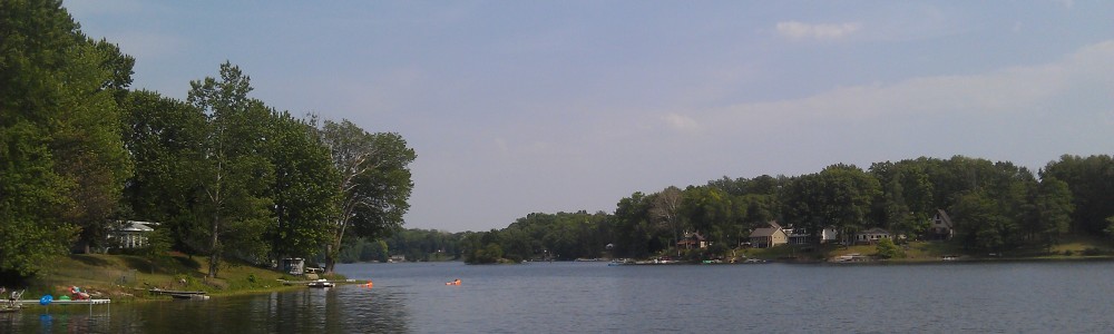
The two embankments are now at different heights so that any overtopping will occur at the east embankment where there is less inhabited property downstream that would be subject to damage. This has the effect of protecting the houses along Hatchery Road downstream of the west embankment. The west embankment is higher than the east embankment. As a result the east embankment is protected with a product called Armorflex. This articulated matting composed of concrete blocks tied together with steel cables prevents erosion of the east embankment in the event overtopping occurs. Figures 1 and 2 are photographs of the completed west and east embankments as completed.
Larry Clough April 2014